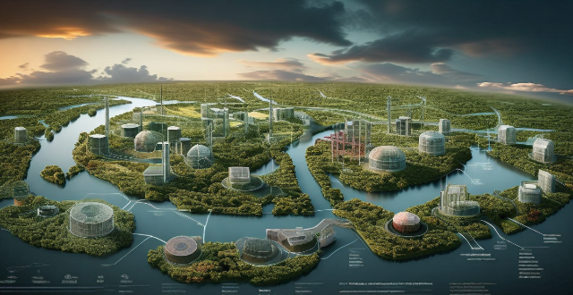
Satellite technology offers numerous benefits for environmental monitoring, such as wide coverage area, high temporal resolution, cost-effectiveness, objectivity and accuracy, multispectral imaging capabilities, real-time data accessibility, long-term data analysis, and global collaboration opportunities.

Benefits of Using Satellite Technology for Environmental Monitoring
Satellite technology has revolutionized the way we monitor and protect our environment. It provides a unique perspective from space, allowing us to observe Earth's surface features, atmosphere, and oceans in real-time. Here are some of the benefits of using satellite technology for environmental monitoring:
Wide Coverage Area
Satellites can cover vast areas of the Earth's surface, providing comprehensive data that would be difficult or impossible to obtain through traditional ground-based methods. This makes them ideal for monitoring large-scale environmental phenomena such as deforestation, desertification, and climate change.
High Temporal Resolution
Satellites can provide data at high temporal resolutions, meaning they can capture images and other types of data frequently, sometimes even multiple times per day. This allows for the monitoring of rapid changes in the environment, such as wildfires, floods, and storms.
Cost-Effectiveness
Satellite technology is often more cost-effective than traditional ground-based monitoring methods. Once a satellite is launched into orbit, it can collect data continuously without the need for additional resources. This makes it an economical solution for long-term environmental monitoring projects.
Objectivity and Accuracy
Satellite data is objective and accurate, as it is collected by automated sensors without human intervention. This eliminates potential biases and errors that may arise from manual data collection methods. Additionally, satellites can operate in all weather conditions, ensuring consistent data collection regardless of external factors.
Multispectral Imaging
Satellites can capture multispectral images, which means they can record data across multiple wavelengths of the electromagnetic spectrum. This allows for the detection of various environmental features, such as vegetation health, water quality, and soil moisture levels. By analyzing these different spectral bands, scientists can gain valuable insights into the state of the environment.
Real-Time Data Accessibility
Satellite data is accessible in real-time, allowing for immediate response to environmental emergencies. For example, during a natural disaster like a hurricane or earthquake, satellite imagery can help rescue teams identify affected areas and plan their response accordingly.
Long-Term Data Analysis
Satellite technology enables long-term data analysis by providing continuous records of environmental changes over time. This historical data can be used to study trends and patterns in the environment, helping scientists better understand complex ecological processes and predict future changes.
Global Collaboration
Satellite technology promotes global collaboration among researchers and organizations worldwide. By sharing satellite data openly, scientists from different countries can work together to address global environmental challenges more effectively. This collaborative approach fosters innovation and accelerates progress in environmental conservation efforts.
In conclusion, satellite technology offers numerous benefits for environmental monitoring, including wide coverage area, high temporal resolution, cost-effectiveness, objectivity and accuracy, multispectral imaging capabilities, real-time data accessibility, long-term data analysis, and global collaboration opportunities. As satellite technology continues to advance, its role in protecting our planet will become increasingly vital.