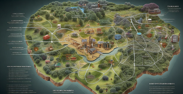
Environmental monitoring is a crucial process that involves the observation, identification, and measurement of various environmental parameters to assess the quality and health of the environment. The key methods used in environmental monitoring include sampling, sensor technology, satellite imagery, and geographic information systems (GIS). Sampling involves collecting samples from different sources such as air, water, soil, and biota and analyzing them in a laboratory to determine the presence and concentration of pollutants. Sensor technology detects and measures pollutants in real-time using sensors that can detect specific pollutants and provide continuous data on their concentrations. Satellite imagery observes changes in land use, vegetation cover, and climate patterns over large areas by analyzing images captured by satellites orbiting the Earth. GIS analyzes spatial data and creates maps showing the distribution of pollutants and their impacts on the environment. These methods are essential for assessing environmental quality and making informed decisions about resource management and risk assessment.

Key Methods Used in Environmental Monitoring
Environmental monitoring is a critical process that involves the observation, identification, and measurement of various environmental parameters to assess the quality and health of the environment. There are several key methods used in environmental monitoring, including:
1. Sampling
Sampling is a fundamental method used in environmental monitoring to collect data from different sources such as air, water, soil, and biota. It involves collecting samples from various locations and analyzing them in a laboratory to determine the presence and concentration of pollutants.
Types of Sampling:
- Air sampling: Collects air samples to measure the concentration of pollutants such as particulate matter, nitrogen oxides, sulfur dioxide, and volatile organic compounds.
- Water sampling: Collects water samples to measure the concentration of pollutants such as heavy metals, nutrients, pesticides, and pathogens.
- Soil sampling: Collects soil samples to measure the concentration of pollutants such as heavy metals, organic compounds, and radioactive substances.
- Biota sampling: Collects biological samples such as plants, animals, and microorganisms to measure the accumulation of pollutants in their tissues.
2. Sensor Technology
Sensor technology is another key method used in environmental monitoring to detect and measure pollutants in real-time. It involves the use of sensors that can detect specific pollutants and provide continuous data on their concentrations.
Types of Sensors:
- Gas sensors: Detect gases such as carbon monoxide, methane, and ozone.
- Particulate matter sensors: Detect particles in the air such as PM2.5 and PM10.
- Water quality sensors: Detect contaminants in water such as pH, dissolved oxygen, and conductivity.
- Soil moisture sensors: Detect moisture levels in soil to monitor irrigation and water usage.
3. Satellite Imagery
Satellite imagery is a powerful tool used in environmental monitoring to observe changes in land use, vegetation cover, and climate patterns over large areas. It involves the analysis of images captured by satellites orbiting the Earth.
Applications of Satellite Imagery:
- Land use change detection: Identifies changes in land use patterns such as deforestation, urbanization, and agricultural expansion.
- Vegetation cover mapping: Maps the distribution and density of vegetation across different regions.
- Climate change monitoring: Tracks changes in temperature, precipitation, and sea level rise over time.
4. Geographic Information Systems (GIS)
GIS is a software tool used in environmental monitoring to analyze spatial data and create maps showing the distribution of pollutants and their impacts on the environment. It integrates data from various sources such as satellite imagery, sensor networks, and field surveys.
Applications of GIS:
- Pollutant mapping: Creates maps showing the distribution of pollutants across different regions.
- Risk assessment: Evaluates the potential risks associated with pollutant exposure for human health and ecosystems.
- Resource management: Helps manage natural resources such as water, forests, and wildlife habitats.