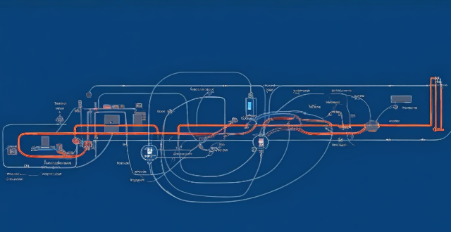
Intelligent transportation systems (ITS) collect and analyze data from sensors, GPS devices, and mobile applications to improve the efficiency, safety, and sustainability of transportation networks. Data is processed and analyzed using techniques such as descriptive, predictive, and prescriptive analysis, and then presented in an easy-to-understand format through visualization tools like maps, charts, and graphs.

How Do Intelligent Transportation Systems Collect and Analyze Data?
Intelligent transportation systems (ITS) are designed to improve the efficiency, safety, and sustainability of transportation networks by utilizing advanced technologies. These systems collect and analyze data from various sources to provide real-time information and make informed decisions. In this article, we will discuss how ITS collects and analyzes data.
Collection of Data
Sensors
One of the primary sources of data for ITS is sensors. Sensors are devices that detect changes in their environment and convert these changes into signals that can be read by computers. ITS uses a wide range of sensors to collect data, including:
* Traffic Counters: These sensors count the number of vehicles passing a particular point on a road.
* Loop Interrogators: These sensors detect the presence of vehicles in a specific area and measure their speed.
* Radar Sensors: These sensors use radio waves to detect the distance, speed, and direction of objects.
* Cameras: These sensors capture images or videos of traffic conditions, pedestrian activity, and other relevant information.
GPS Devices
Another source of data for ITS is GPS devices. GPS devices use satellite signals to determine their location and provide real-time information about traffic conditions, such as congestion levels and travel times. This data can be used to optimize routes and reduce travel time.
Mobile Applications
Mobile applications also play a crucial role in collecting data for ITS. For example, navigation apps like Waze and Google Maps collect data about traffic conditions and share it with other users. This data can be used to provide real-time updates on traffic conditions and suggest alternative routes.
Analysis of Data
Data Processing
Once the data has been collected, it needs to be processed before it can be analyzed. This involves cleaning the data to remove any errors or inconsistencies, transforming it into a format that can be analyzed, and integrating it with other data sources.
Data Analysis
After the data has been processed, it can be analyzed using various techniques, such as:
* Descriptive Analysis: This involves summarizing the data to identify patterns and trends. For example, analyzing traffic data to identify peak hours or congested areas.
* Predictive Analysis: This involves using historical data to predict future events. For example, predicting traffic flow based on past trends.
* Prescriptive Analysis: This involves using data to make recommendations for improving transportation systems. For example, suggesting changes to signal timings based on traffic patterns.
Visualization
Finally, once the data has been analyzed, it needs to be presented in a way that is easy to understand. Visualization tools like maps, charts, and graphs can be used to display the results of the analysis and help decision-makers make informed decisions.